


Program Overview
MCC’s $474 million Indonesia Compact (2013-2018) supported sustainable economic growth through the $228 million Green Prosperity (GP) Project. GP included the $38 million Participatory Land Use Planning (PLUP) Activity, which aimed to strengthen the capacity of local communities and district level institutions to manage their own land and resources and encourage investment. This was in support of GP’s objectives to increase productivity and reduce greenhouse gas emissions. As a way to decrease land conflict and improve land use planning and management, PLUP conducted boundary-setting and mapping at the village level and developed geospatial land databases at the district level.
Evaluator Description
MCC commissioned Social Impact to conduct an independent interim performance evaluation of the pilot phase of the PLUP Activity. Full report results and learning: https://data.mcc.gov/evaluations/index.php/catalog/180.
Key Findings
Assessment of Implementation in Pilot Districts
- Local- to national-level stakeholders considered PLUP’s village and district interventions and tools to be relevant and important.
- Challenges to fully implement PLUP processes and tools in the four pilot districts included a lack of clear expectations, insufficient time, and changing requirements.
- The evaluation identified four areas of risk regarding the scale-up of PLUP: intervention design, implementation realities, sustainability, and national stakeholder engagement.
Spatial Certainty & Land Use Planning Outcomes
- Evidence of increased spatial certainty and decreased land boundary conflicts were found at the village level.
- Evidence of improved land governance administration was most prominent at the village level but was limited at the district and national levels.
- While stakeholders felt better equipped to manage land and natural resources, they were not found to be utilizing tools to manage land resources.
- Some evidence of improved land use planning and adherence to land use plans was found, but no maps produced with PLUP support had been formally approved.
Evaluation Questions
This interim performance evaluation was designed to answer the following questions about the first phase of PLUP implementation in the four pilot districts, among others that are covered in the full report. These will inform a final evaluation of a broader set of targeted results:
- 1
How has the pilot phase of PLUP implementation progressed? What were the main challenges in managing PLUP? - 2
How has PLUP progressed in the achievement of these short-term outcomes: a) Improved perceptions of spatial certainty; b) Decreased boundary and land use conflicts; c) Improved confidence in land governance administration; d) Increased capacity to manage land and natural resources; e) Improved land use planning; and f) Increased conformance to land use plans?
Detailed Findings
Assessment of Implementation in Pilot Districts
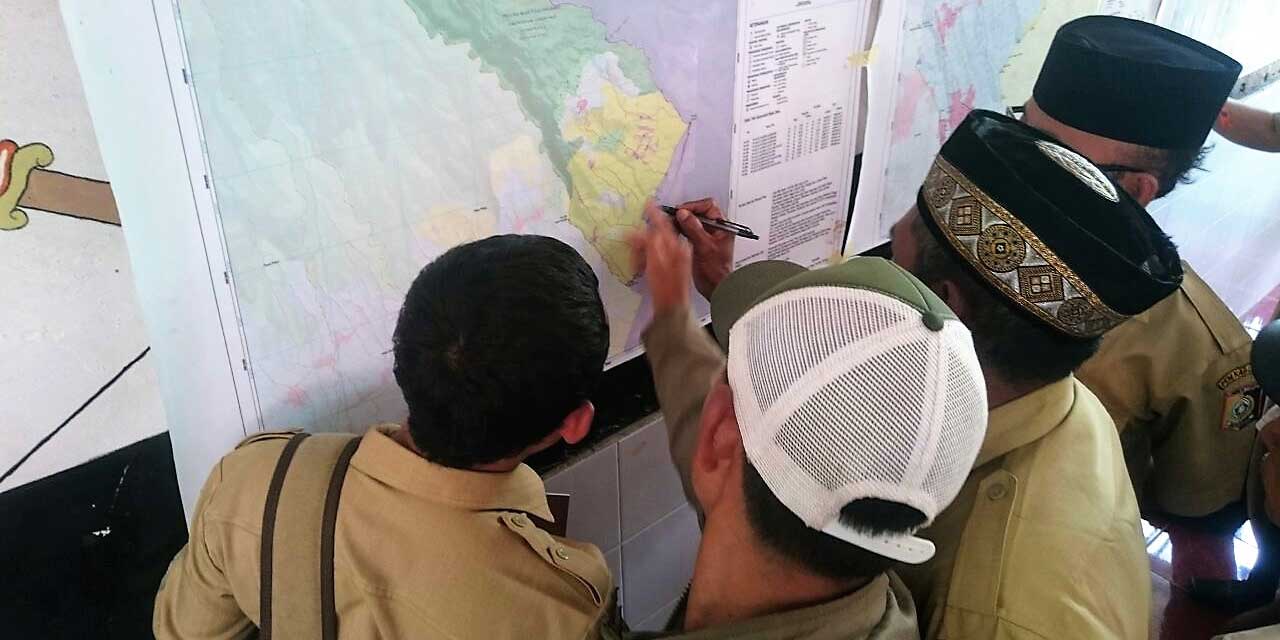
Village boundary setting agreement session.
In addition to challenges faced in implementing PLUP and in defining the scope, the 12-month activity time frame allowed only for the completion of outputs but not sustainability measures like capacity building around utilizing PLUP’s processes and tools. Accordingly, though respondents believed the village boundary-setting and resource mapping process addressed known land administration challenges, they were unable to fully articulate how PLUP outputs (including maps) would be used in the future.
The assessment identified four areas of risk as PLUP scales up:
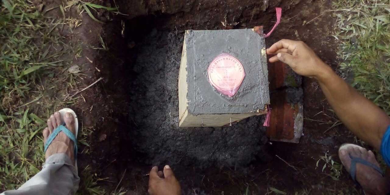
Village boundary marker being set.
Design. Land conflict resolution was complicated and conflicts sometimes arose as a result of the boundary-setting process. Going forward, resolving conflict will require time, alternative dispute resolution mechanisms, and capacity appropriate to the situation. The cost-effectiveness of PLUP was also a concern, given that expenditures such as technology, community meeting expenses, pillars, etc. quickly accumulated. The costs of participatory designs similar to PLUP’s will be important to consider when advocating scale-up.
Implementation. Inclusivity of women and marginalized or vulnerable groups proved challenging, in part due to the high effort and time required to engage villages in the planning and processes. Additionally, though resource mapping was considered a critical component of PLUP, the attention paid to it seemed under-emphasized and unclear.
Sustainability. Closeout plans were not adequately considered up front. Only a minority of interviewed stakeholders had planned for utilization of the outputs provided by PLUP (e.g. boundaries, maps, information system, etc.), while the majority were either waiting for further assistance or still required more training or capacity strengthening.
National Stakeholder Engagement. Strategic collaboration and coordination with government entities and other national land stakeholders will be critical to operationalize the PLUP concept in Indonesia, but was found to be only in the early stages at the time of the evaluation.
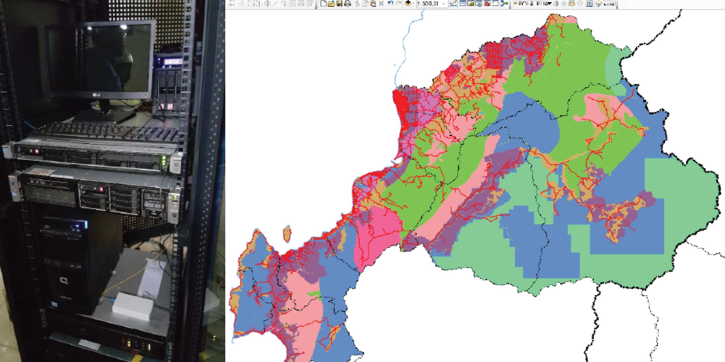
Server infrastructure provided by PLUP for district databases and draft map of Mamuju district administrative boundaries.
Spatial Certainty & Land Use Planning Outcomes
Respondents’ awareness and understanding of village boundaries improved after PLUP, indicating an increased level of spatial certainty in targeted villages. There was evidence of reduced boundary conflicts, but complex, ongoing conflicts continued to plague intervention villages. An increase was detected in village-level dispute resolution resources, dispute resolution mechanisms, and agreed boundary segments, all of which were facilitated by the PLUP activities.
Land governance administration improved more in the village setting than district, perhaps reflecting the completed village-level activities vs. delays in the districts. A notable challenge regarding national land administration change was the lack of clarity on roles and responsibilities and mechanisms to coordinate among the national government stakeholders that are critical to making use of or sustaining PLUP interventions.
Villagers noted that resource mapping discussions helped them think about broader land management priorities. District stakeholders received training to improve their understanding of land area potential, but they did not yet have access to tools for managing, monitoring, and promoting land resources.
Evidence was found that PLUP’s mapping and identification of boundary issues influenced some aspects of spatial planning at the village level with respect to development plans. However, at the time of the evaluation the maps were not finalized nor returned to the villages due to a bureaucratic process requiring a District Head Decree.
The evaluation identified instances where PLUP activities both increased understanding and knowledge about how to adhere to land use plans (village level) and increased stakeholders’ appetites for improved data and information that can be used to better adhere to land use plans (district level).
MCC Learning
PLUP’s linkage to the rest of GP changed early in the compact. A program design or implementation change midway can create significant challenges both for ensuring and evaluating results.
The significant investment by the compact to ensure the achievement of PLUP targets may result in interventions that are too expensive for the government to take to scale.
More engagement with and dissemination of information to the districts is critical to making them leaders in geospatial data and planning and ensuring the sustainability of PLUP investments.
Evaluation Methods
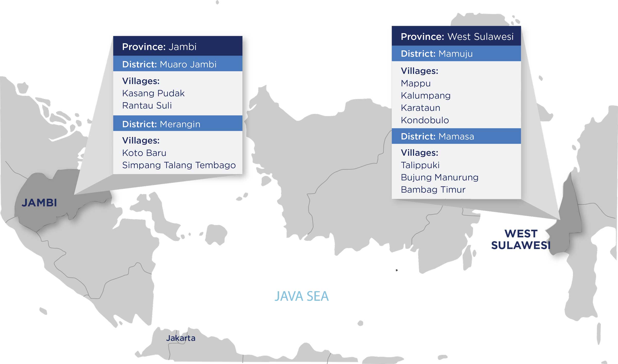
The evaluation employed a pre-post methodology with qualitative data to assess pilot phase implementation quality and short-term results in PLUP’s four pilot districts. These districts, unlike the 41 potential PLUP scale-up districts, were selected independently of the GP grant locations, and were the only districts where the combined set of village- and district-level PLUP interventions were implemented. To analyze potential geographic differences in implementation or perceived outcomes, data was collected in all four districts, six of the sub-districts, and 11 villages across the sampled areas.
Pilot phase implementation occurred from July 2015 to March 2017. The first round of evaluation data collection was designed to occur shortly after the completion of implementation in September 2016 and was intended both to establish baselines and assess interim results. However, due to program delays, it took place as PLUP implementation was nearing completion. Project participants had been exposed to PLUP interventions for up to 14 months at that time. Most outcomes were not expected to have been impacted immediately by the program, therefore the post-implementation data provided a valid baseline. For all other outputs or outcomes, the evaluation team asked retrospective questions about the pre-program period to establish baselines.
The evaluation employed three types of primary data collection - Key Informant Interviews (66), Focus Group Discussions (22), and Participant Observations (9) – for a total of 232 respondents. These included villagers, implementers, businesses, as well as land administration officials at the village, district, provincial, and national levels. Review of project documents, legal and planning documents, and news media articles also informed analysis.
Next Steps
A second and final round of data collection is planned for this evaluation in 2018, which will seek to further verify short-term outcomes and assess the achievement of long-term outcomes. A final evaluation report is expected to be released in 2019.
2020-002-2432